Camping
4 WD
Wifi
Toilets
Hot Tub
Hiking
Photography
Shower
Restaurant
What and Why?
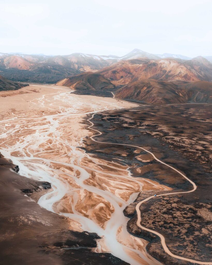
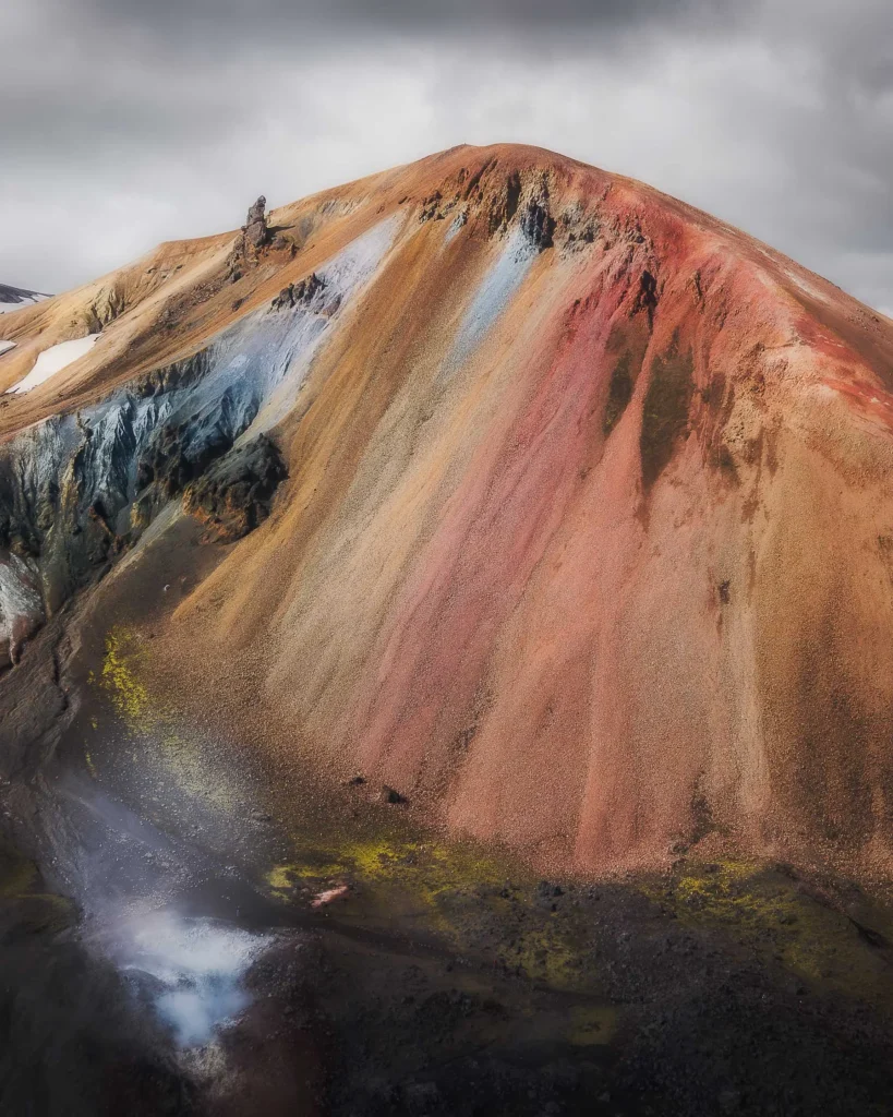
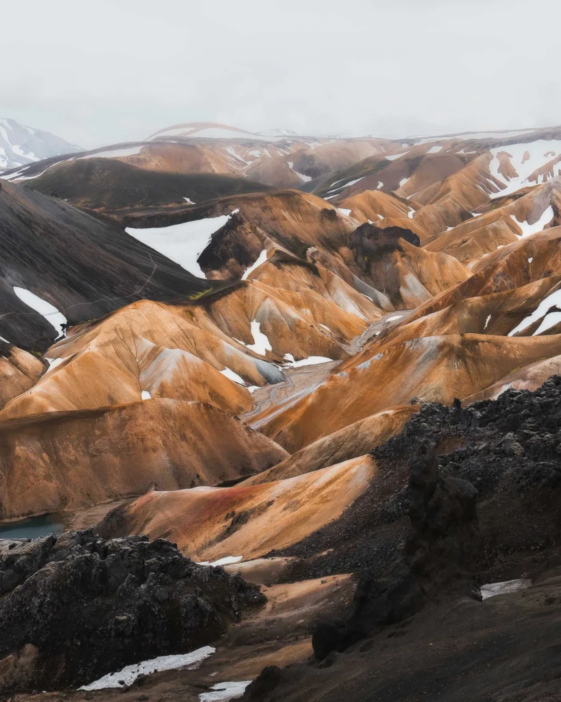
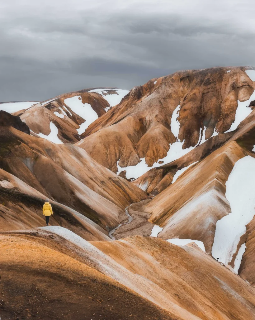
Colourful rhyolite mountains, impressive lava landscapes, hot springs between snow and ice, slopes covered in bright green moss and lakes in which the sky is reflected. The geometric oasis of Landmannalaugar, located in the heart of Iceland, offers all this and much more. Landmannalaugar is known for its numerous hiking trails, ranging from a few hours to several days.
How to get there?
There are various routes to Landmannalaugar. However, they all have one thing in common: they are unpaved gravel roads (F-roads) and often rivers with very different water depths and current conditions have to be crossed. The access routes to the F-roads can be easily determined using Google Maps. However, the F-roads have very different conditions, which are not taken into account in the usual navigation systems. In the following section you will therefore find a description of how we experienced the F-roads and how we assess them.
Information: We drove all the routes described with a Suzuki Jimny model 2015 in standard version.
From the north via the F208
ifficulty level of the road: easy
Duration: approx. 2.5 hours from the ring road
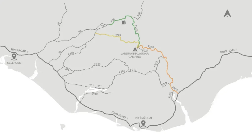
If you are travelling from the west on road 26 or 32, which both join the F26, you are probably on the easiest route to Landmannalaugar. After 13km on the F26, you will pass the last petrol station right next to „The Highland Centre Hrauneyjar“. It’s worth checking your tyre pressure again here and filling your tank. There are no more petrol stations in the Highlands. 7km after the petrol station, turn right onto the F208 and follow it until you can turn right onto the F224, which leads directly to Landmannalaugar Camping. Just before the campsite is the only river that has to be crossed on this route. The water can be up to half a metre deep. However, there is a car park before the river crossing and you can walk to the campsite in 5 minutes. You can also spend the night here. However, you still have to register at Landmannalaugar Camping and pay the camping fee.
From the west via the F225
Difficulty level of the road: medium
Duration: approx. 2.5 hours from the ring road
If you are travelling from the west on road 26, turn right onto the F225. This leads 40 kilometres through the highlands before it joins the F208. Turn right onto the F208 and follow it until you can turn off onto the F224 towards Landmannalaugar Camping (see link to the section above). The F225 is a little more challenging than the northern part of the F208 and you also have to cross two smaller rivers. We were able to cross these with our standard Suzuki Jimny without any problems. To be on the safe side, however, we always checked the conditions by walking trough the river before we drove through.
From the south via the F208
Difficulty level of the road: medium to demanding
Duration: approx. 5 hours from the ring road
If you are travelling from the south on the F208, simply follow it until you can turn left towards Landmannalaugar onto the F224. This route is a little more challenging, but in our opinion it is perfectly feasible. You have to cross a few rivers, some of which are a little wider. However, most of them were just up to 20cm deep.
If you are short of time, you can also book a guided day tour.
When to go?
The roads in the highlands are normally open during the summer months from June to early September. However, opening times may vary depending on conditions. You can find out about the current situation on the following pages:
Who can visit?
It is a great experience for any nature lover. If you are planning a trip lasting several days, please keep in mind that there is only the option of staying overnight in a hut or camping. The huts are often fully booked early.

